
This article was originally published in Yellow Scene Magazine as part of my monthly outdoor column.
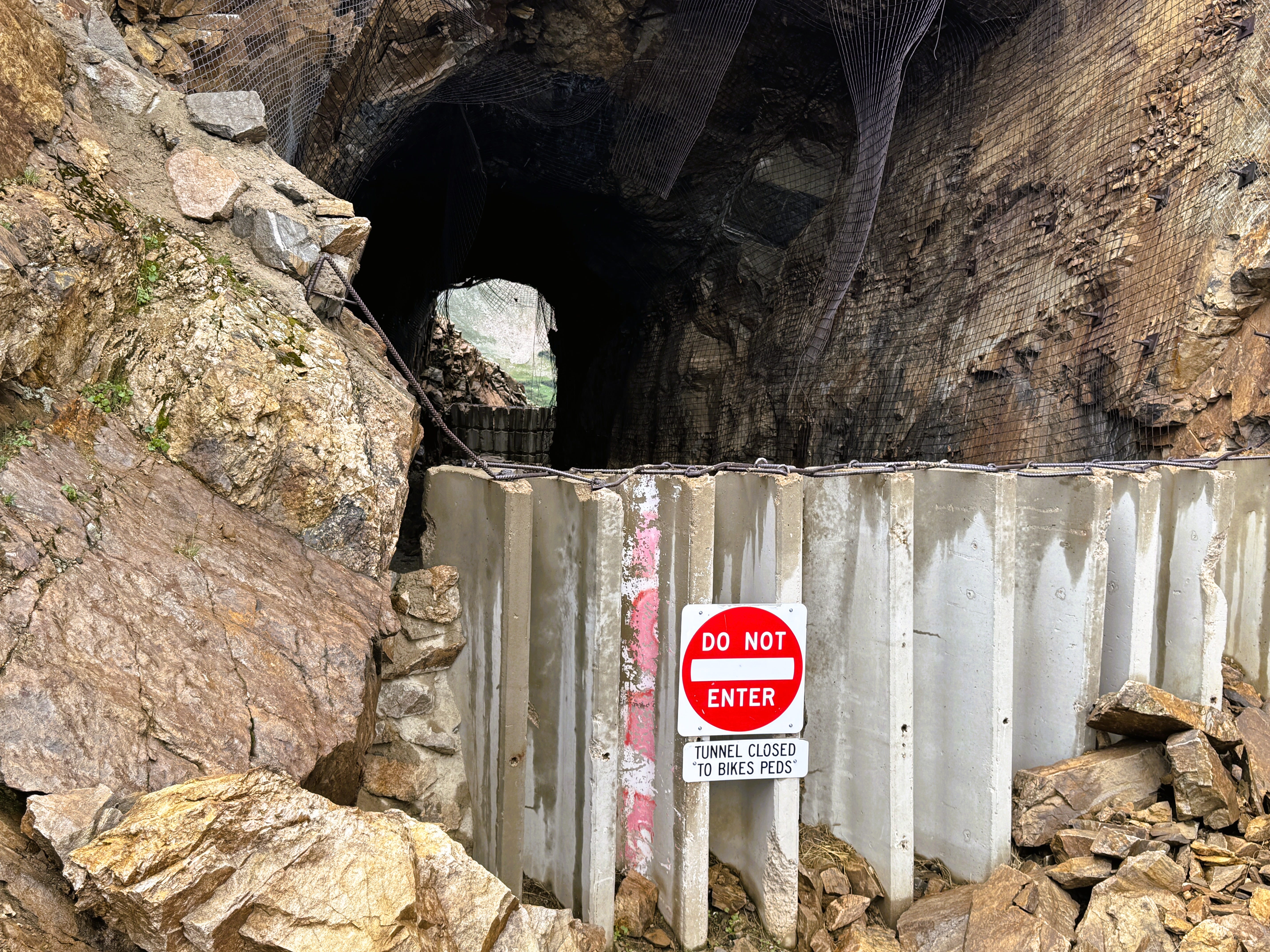
The Needle Eye Tunnel was much shorter than I imagined: a 250-foot stretch to daylight at the far end. A tall cement barricade blocked the west entrance, but piled boulders allowed us to climb up and peer into the man-made cavern. Inside was a ragged mess of fractured stone and wire netting that was ripped and hanging over the entrance like a post-apocalypse bandit hide-out.
A sun-faded sign prohibited entry due to falling rock, so we stayed back. This remarkable historical relic and feat of turn-of-the Twentieth Century engineering was never meant to be permanent.
In the early 1900s Denver industrialist David Moffat harbored a relentless dream: to bore a transcontinental railroad tunnel directly through the granite wall of the Continental Divide. But dreams require capital, and capital requires proof. To demonstrate the route’s viability while raising funds for his grand tunnel, Moffat built a temporary line straight up and over the alpine ridgeline.
At its opening in 1904, the Moffat Road stood as the highest and steepest non-cog railroad in North America, topping out at 11,676 feet. As steep as it was, even a modest four-percent incline was the failure-point for steam locomotives of that era, forcing the tracks into a lengthy, winding route up both sides of the mountain.
Moffat did not live to see his dream come true. After shoveling everything he had into the grand tunnel, he died penniless in 1911. His “temporary” pass route ended up enduring for a quarter-century before the 6.2-mile Moffat Tunnel was finally completed in 1928. Today, passengers sipping morning coffee aboard Amtrak trains rumble through that lower tunnel, now 98 years old, oblivious to the ghosts on the ridge above.
After the Moffat Tunnel opened in 1928, the high Moffat Railroad sat lonely through a decade of relentless winter storms and high elevation winds before it was officially abandoned and salvaged for steel. Post-World War II prosperity brought automobile ownership to the American family, driving a fresh appetite for mountain access. In 1956, the old railbed was re-graded as a public road, allowing white-knuckled motorists to drive through the Needle Eye and then up and over the Great Divide to Winter Park on the other side.
The automobile route proved even more fragile than the railroad. In 1979, parts of the Needle Eye’s inner vault sheared away, crashing into the inside in a jumble of rubble. Efforts to restore the passage briefly reopened it in 1989, but another collapse the following year injured a motorist, closing the tunnel permanently.
Today, the broken Needle Eye splits Rollins Pass into two distinct dead-end approaches. Motorists can no longer drive completely over the Divide, but those willing to endure the journey can ascend either side to the closure points. Calling either approach a road is a generous description. While technically accessible without specialized four-wheel drive, the trip requires high clearance to preserve your oil pan. The real challenge is the terrain itself, strewn with “baby heads”—off-road parlance for loose, melon-sized rocks that force your speed down to a brisk walk.
Despite its close proximity to Denver, reaching the eastern closure point takes three hours of teeth-rattling focus. Paradoxically, the quicker way to the top is to take the western approach: drive farther over Berthoud Pass, pick up Corona Pass Road from Winter Park, and tackle a slightly shorter, milder stretch of baby heads to reach the old summit about twenty minutes quicker. Counter-intuitively, the hardship of the road is precisely what protects the place. Long before steam engines or automobiles rattled up these slopes, humans walked them for survival. Archaeological research by Spencer Pelton documented around 100 ancient game drive components across the pass, including low stone walls and hunting blinds built by Paleoindians hunting woolly mammoths, and later by Ute bands tracking elk. For thousands of years, this pass formed part of a seasonal migration circuit, guiding family groups into the game-rich highlands for the summer harvest.
That rich alpine sanctuary endures. Because the central section of Rollins Pass remains closed to motor traffic, it forms an uninterrupted wilderness complex connecting the Indian Peaks Wilderness to the north with the James Peak Wilderness to the south. This roadless corridor stretches from Trail Ridge Road in Rocky Mountain National Park almost down to Interstate 70, preserving one of Colorado’s most expansive wildlands right on Denver’s doorstep.
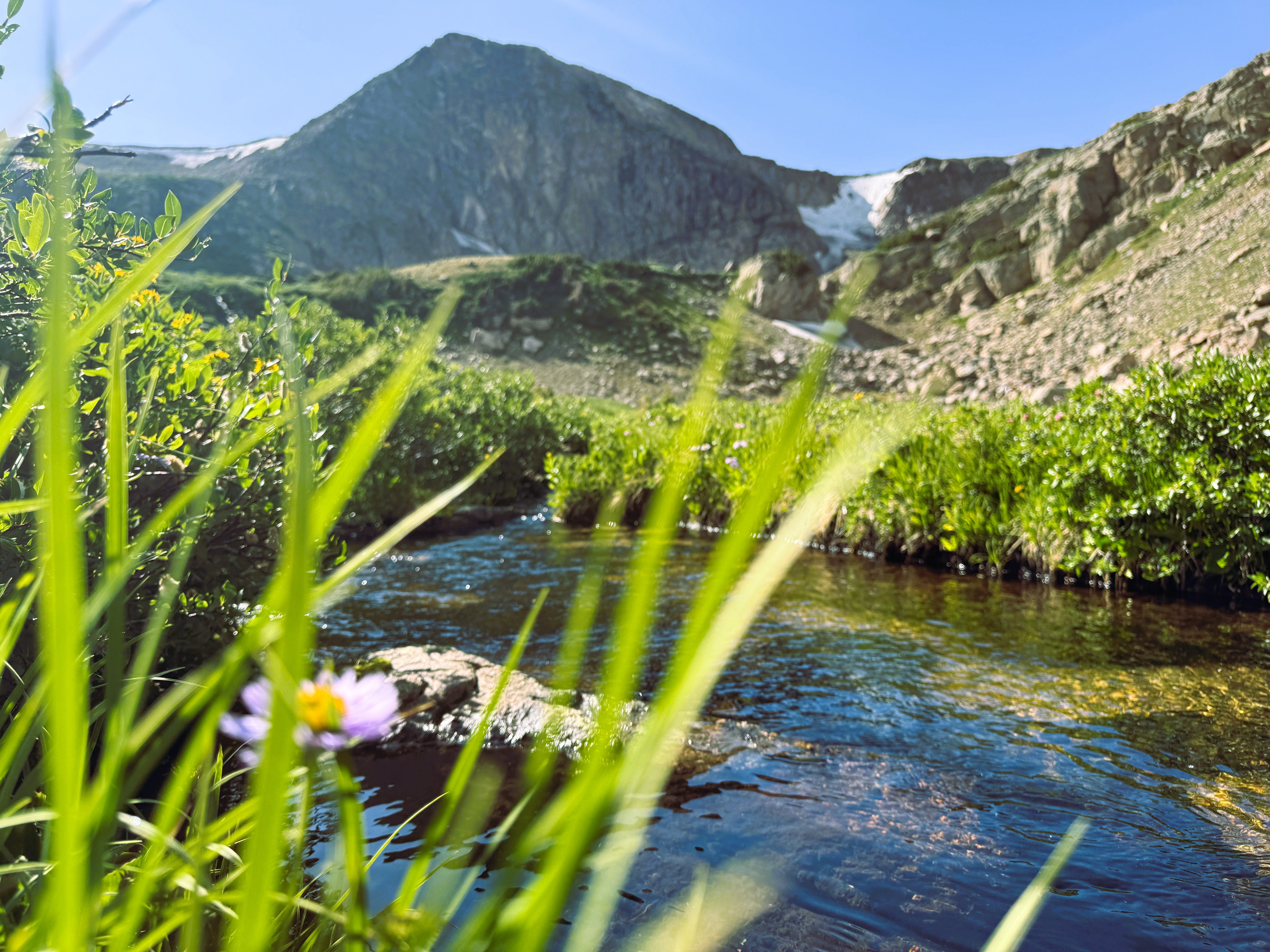
For visitors who make the drive, the summit area opens into exceptional backcountry access. From the top of the western approach, gentle hikes of two miles or less lead to five distinct timberline lakes. Near the eastern closure point, short trails branch into the James Peak Wilderness, while the Continental Divide Trail traces its way north to Canada and south to Mexico along the ridgeline.
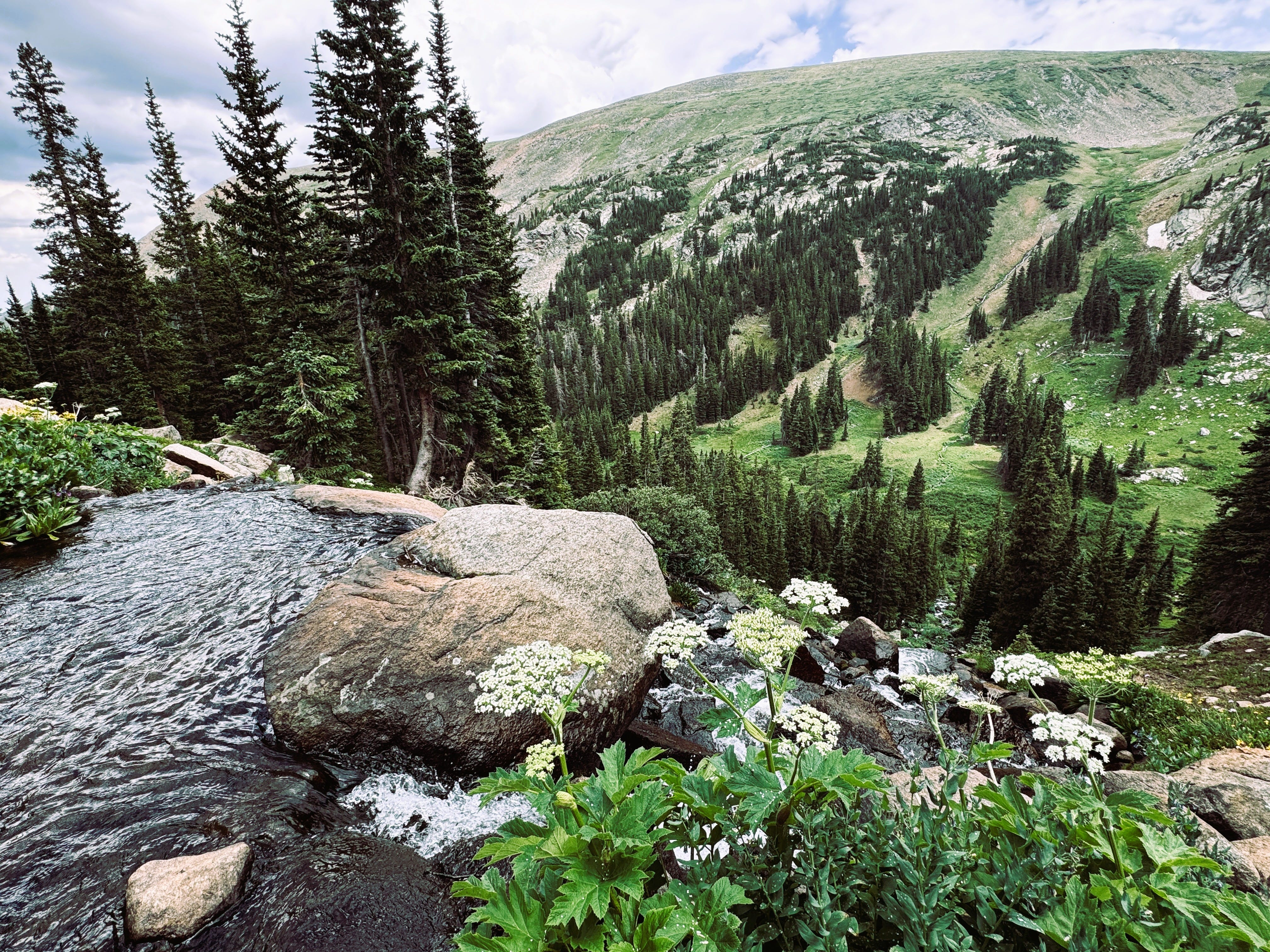
On a hike between King Lake and Betty and Bob Lakes, my companion and I followed a clear stream through a carpet of columbine, Indian paintbrush, and alpine yellow flowers. We traced the water to the top of a waterfall where a large flat rock provided a perch to peer across the valley below.
High above the trees on the other side of the valley, a faint line traced horizontally across the alpine slope. Below that faint line appeared to be some debris. As my eyes adjusted, I realized the line was the long-closed section of the old Rollins Pass Road, and the specks revealed themselves as unsalvageable railroad ties: quiet ghosts of Moffat’s dream still weathering alpine blizzards at 11,000 feet.
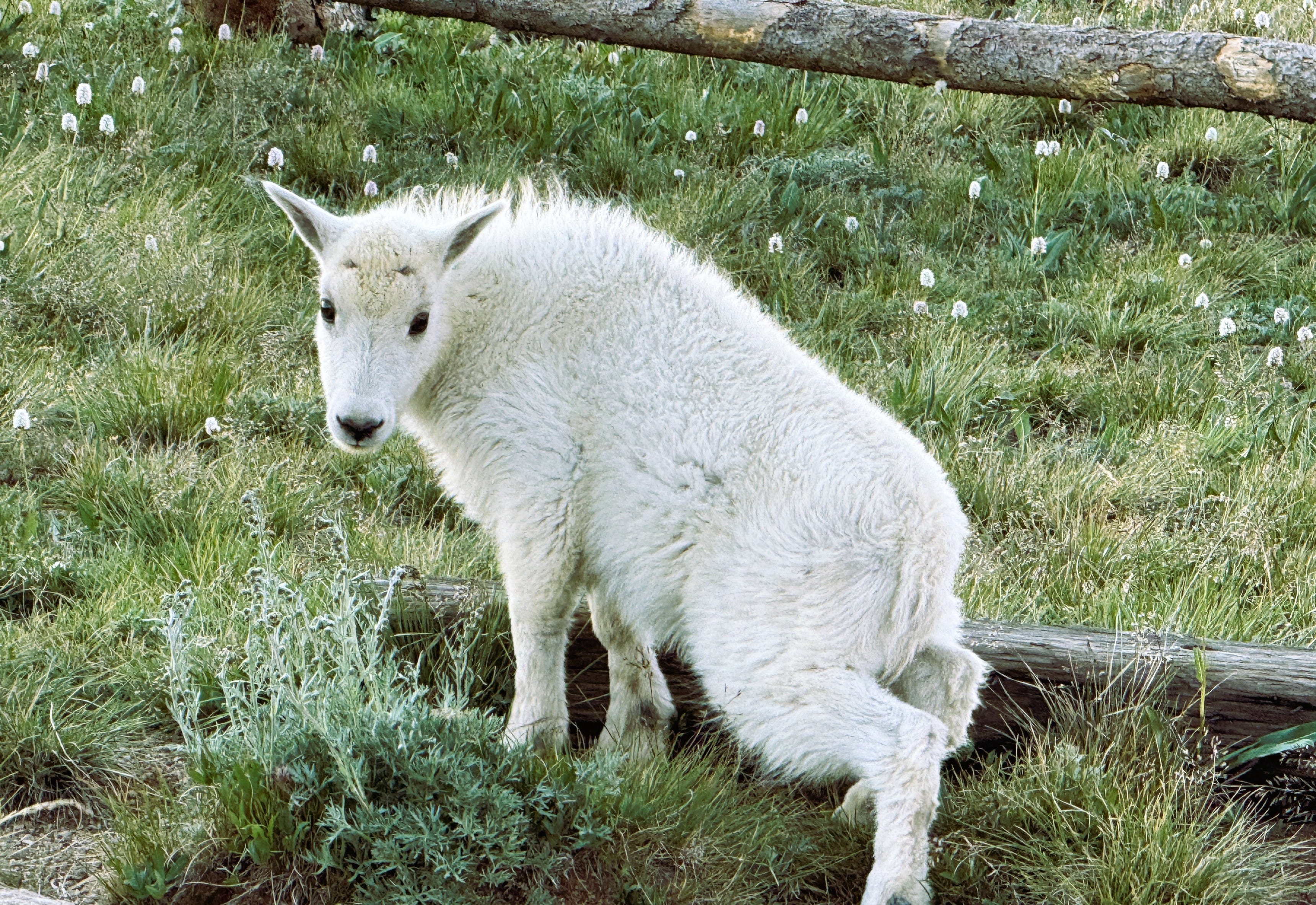
The wildlife seems to appreciate the quieter pace modern isolation brings. When we returned to the trailhead in the golden afternoon light, we were greeted by a family of mountain goats. A mile down the road, a huge bull moose crashed through the roadside brush. Farther along, a magnificent group of four bull elk rested together in a high meadow, completely unbothered by our passing vehicle—just the boys hanging out in the grass.
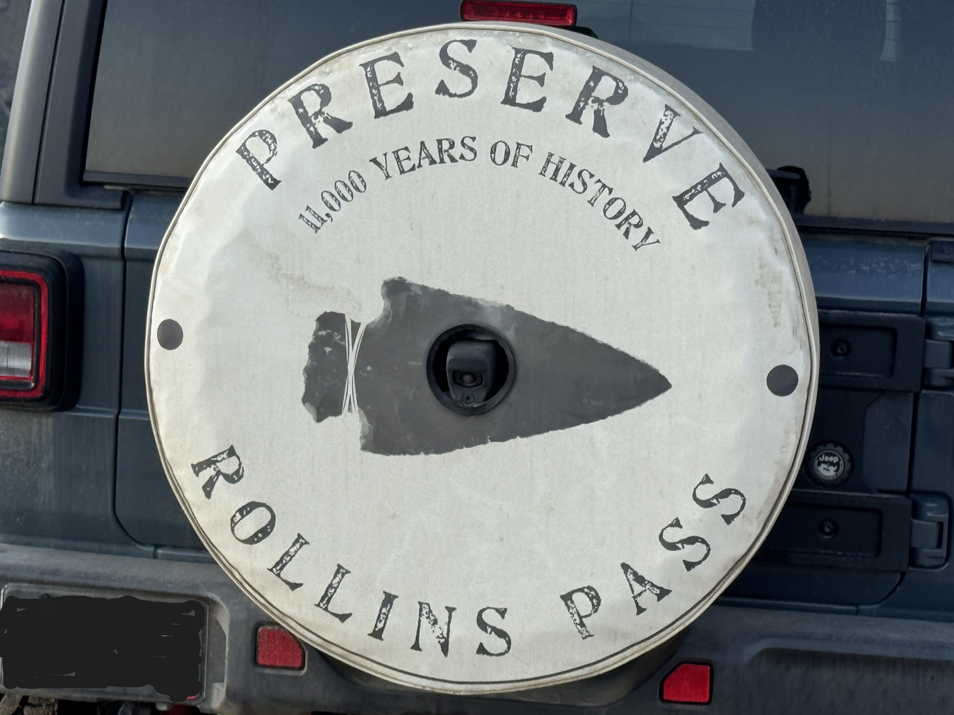
Visiting wild places like this, or even just knowing that they are there so close to the city, reminds us of the importance of their preservation. The narrow ribbon of history gets us into the high country, but the protected wilderness around it is the real treasure. At the trailhead, a spare tire cover on a parked SUV summed up the spirit of the place: “Preserve Rollins Pass—11,000 Years of History.” If you would like to learn more about the ongoing effort to recognize, protect, and preserve Rollins Pass, visit www.preserverollinspass.org.